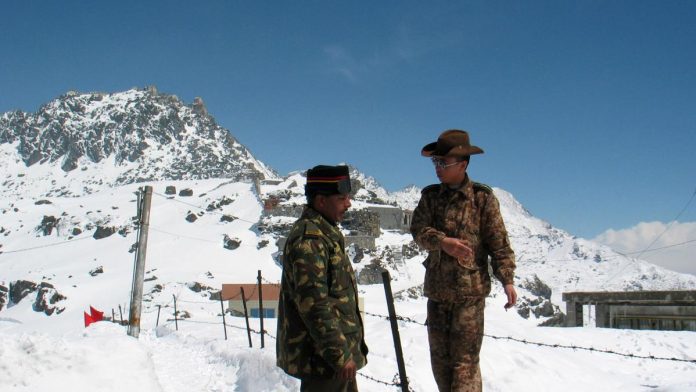
After a physical confrontation at Pangong Lake on May 5. The dispute between Indian and Chinese troops in the Galwan River Valley had intensified.
Fresh satellite images suggests that there is heat on both sides of the Line of Actual Control (LAC) region. The images show an estimated distance of about 2.5 km between the Indian and Chinese troops.
The images also suggest that soldiers are still encamped in their territories, well in line with reports of both sides maintaining distance in the Galwan River valley.
As per inputs, the build-up had intensified following a physical confrontation between troops in the Pangong Lake area on May 5.
Indian presence in the region was visible even before clashes were first reported last month since construction in the river valley was already underway on the Indian side.
The Chinese build-up had started to intensify in the second week of May.
As of now, India and China are likely to hold Lieutenant General-level talks on June 6 to address the ongoing deadlock.
ALSO READ: “Doomed To Fail”: Trump’s Plan To Invite India, Russia To G7 Upsets China


